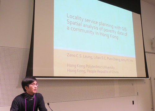
Paper presented at #husITa14 in Melbourne, Australia, July, 2014.
Presenter
Zeno C.S. Leung (Hong Kong Polytechnic University, Peoples Republic of China).
Abstract
Although the potential utilization of geographical information system (GIS) technologies in social service planning at a community level has been suggested for more than a decade (Chow and Coulton, 1997), actual applications are still rare. This article reports a pilot project in which service user records of a short term food assistance project operated in the East Kowloon region of Hong Kong are mapped and analyzed with the geographical information system. Spatial analysis of the data set reveals understanding of poverty problem in the region that may not be observed by using conventional statistical analyses. The project is suggested to have demonstrated a new method in locality service planning.
Powerpoint
[slideshare id=36918582&doc=fri2171120zenoleung-140713012444-phpapp02]
Audio
[soundcloud url=”https://api.soundcloud.com/tracks/160746955″ params=”color=ff5500&auto_play=false&hide_related=false&show_comments=true&show_user=true&show_reposts=false” width=”100%” height=”166″ iframe=”true” /]
Comments
Please use the reply section below to comment and discuss this paper.
Back to programme

